
Route by ExportMyMap
Great Ocean Road: 3-Day Itinerary
12 places
Follow the coast west through surf beaches and the Otways to the limestone stacks near Port Campbell. Three stages spread the driving out; arrange overnight bases and onward travel separately.
- Make your own copy without signing in: move stops between days and add or remove places from the list.
- Open places or daily routes in Google Maps when you need them.
- Print your itinerary or download a PDF to take with you.
Showing 10 of 10
Day 1: Bells Beach
3 stops- 1
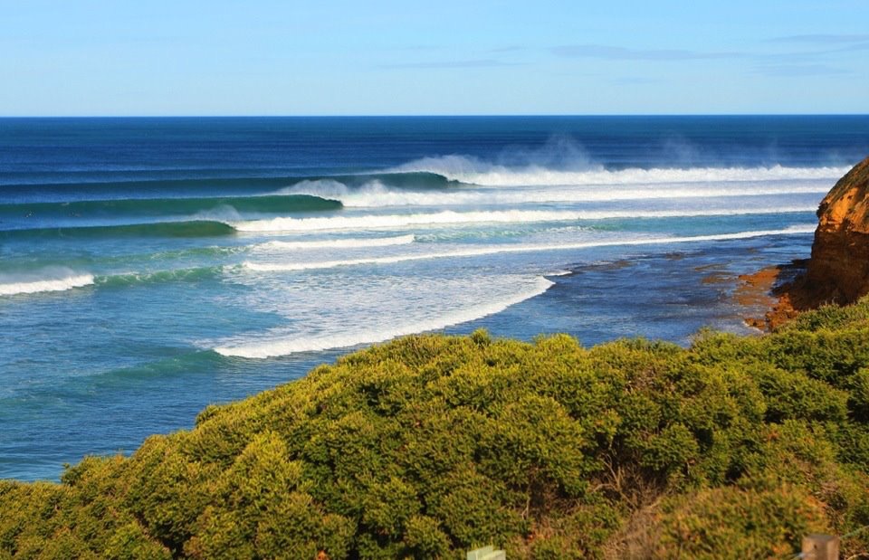
Bells Beach
Beach
Australia
A coastal amphitheatre near Torquay overlooks a renowned surf break. Clifftop viewpoints let visitors watch the waves without entering the water.
View in Google Maps - 2
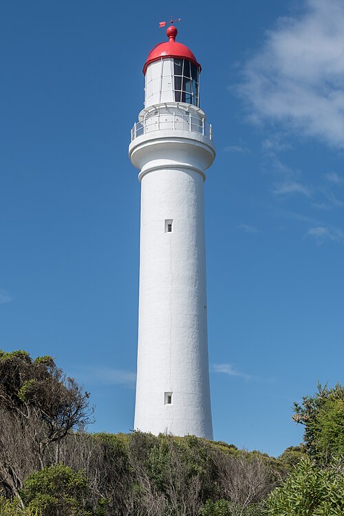
Split Point Lighthouse
Landmark
Australia
This white lighthouse rises above Aireys Inlet, with coastal paths and views across the surrounding cliffs and ocean.
View in Google Maps - 3
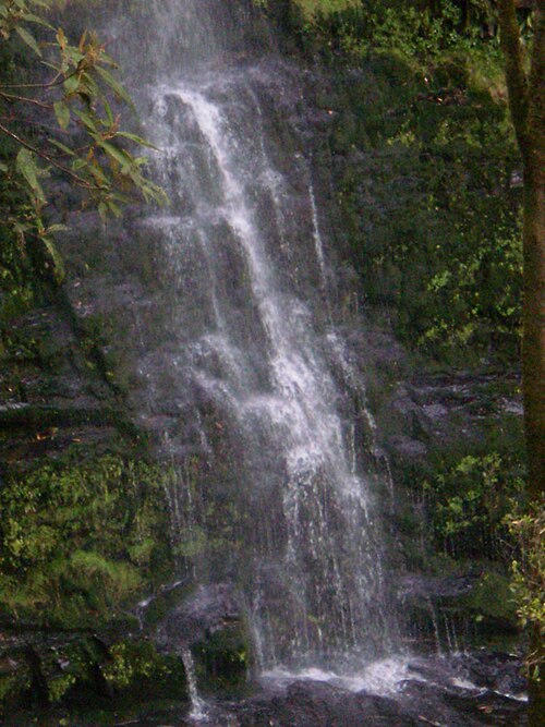
Erskine Falls
Waterfall
Australia
A forest waterfall inland from Lorne drops into a fern-lined gully. Viewing areas provide an Otways contrast to the coastal drive.
View in Google Maps
Day 2: Kennett River Koala Walk
2 stops- 1
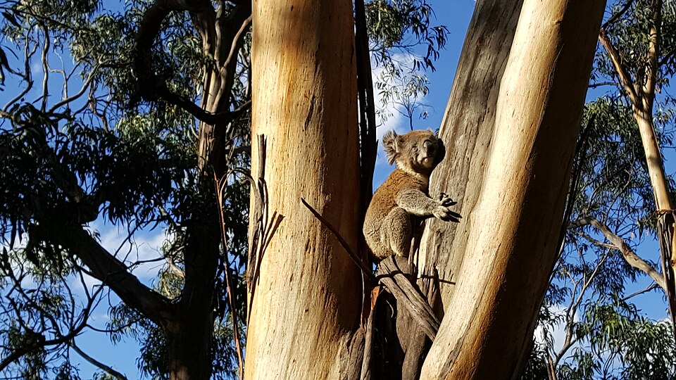
Kennett River Koala Walk
Wildlife
Australia
Eucalyptus trees around Kennett River provide opportunities to look for wild koalas. Sightings depend on the animals and are never guaranteed.
View in Google Maps - 2
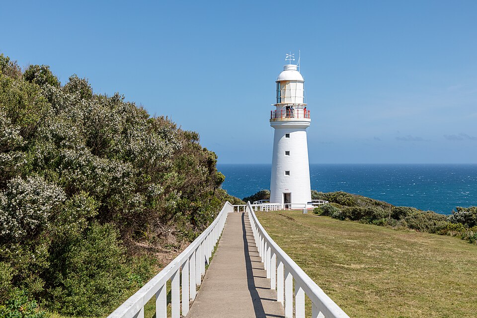
Cape Otway Lightstation
Landmark
Australia
The historic lightstation stands above the ocean at Cape Otway. Its grounds connect maritime history with a windswept coastal setting.
View in Google Maps
Day 3: Gibson Steps
5 stops- 1
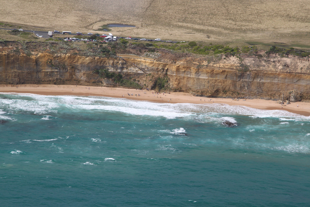
Gibson Steps
Viewpoint
Australia
A clifftop viewpoint and steep steps overlook offshore stacks near the Twelve Apostles. Beach access depends on tides, swell and local restrictions.
View in Google Maps - 2
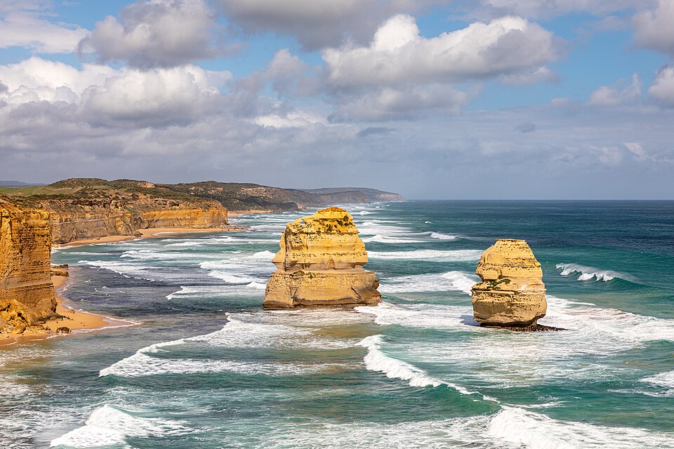
Twelve Apostles
Viewpoint
Australia
Limestone sea stacks stand offshore below steep cliffs. Lookout paths reveal the formations shaped by continuing erosion along Victoria’s coast.
View in Google Maps - 3
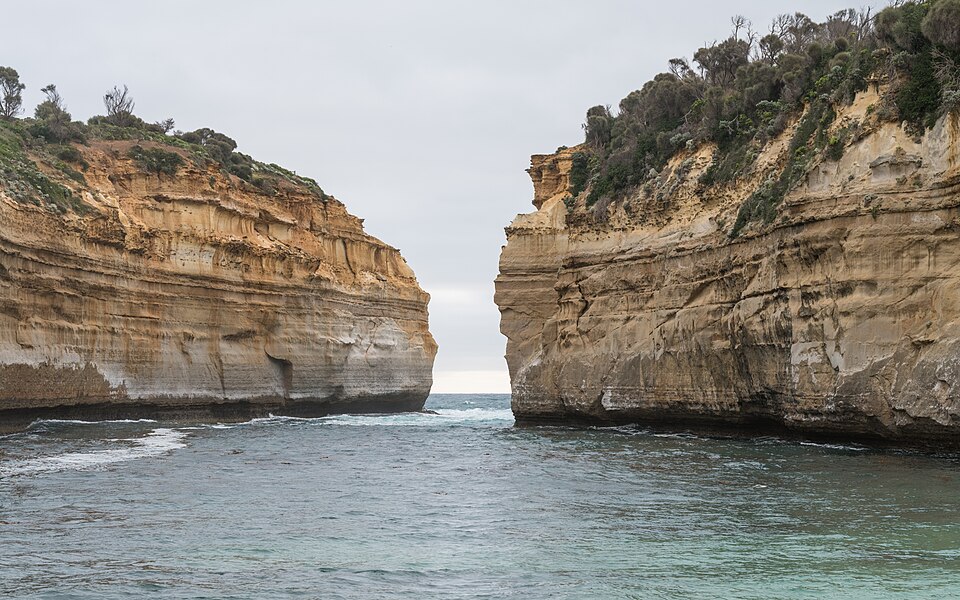
Loch Ard Gorge
Nature
Australia
Limestone walls shelter this inlet associated with the Loch Ard shipwreck. Coastal viewpoints show the contrast between sheltered water and exposed cliffs.
View in Google Maps - 4
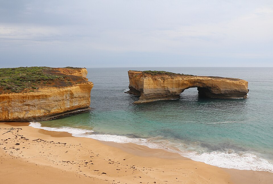
London Bridge
Viewpoint
Australia
The offshore limestone arch once connected to the mainland. Its remaining span illustrates how erosion continually reshapes this stretch of coast.
View in Google Maps - 5
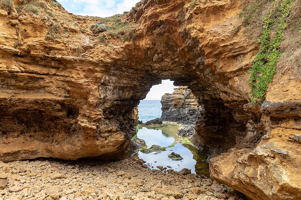
The Grotto
Nature
Australia
A limestone opening frames the ocean beyond a sunken rock pool, with viewpoints reached by a path and steps.
View in Google Maps
Photo credits & sources
Independent place information and licensed photographs. Opening Google Maps is optional. Content checked: 2026-10-09.
Great Ocean Road
GreatOceanRoad.jpg — Phlotogr4phy · CC BY-SA 4.0 · Resized by Wikimedia Commons; no other edits.
Bells Beach
Bells Beach perfection.jpg — Brett Stanley · CC BY-SA 4.0 · Unmodified original.
Split Point Lighthouse
Split Point Lighthouse, Aireys Inlet, west view 20230218 1.jpg — DXR · CC BY-SA 4.0 · Resized by Wikimedia Commons; no other edits.
Erskine Falls
Erskine Falls 3.JPG — Alpapad · CC BY-SA 3.0 · Resized by Wikimedia Commons; no other edits.
Kennett River Koala Walk
Koala in eucalyptus.jpg — KobiWiki · CC BY-SA 4.0 · Resized by Wikimedia Commons; no other edits.
Great Otway National Park
Beech Forest (AU), Great Otway National Park -- 2019 -- 1385.jpg — Dietmar Rabich · CC BY-SA 4.0 · Resized by Wikimedia Commons; no other edits.
Cape Otway Lightstation
Cape Otway (AU), Cape Otway Lighthouse -- 2019 -- 1230.jpg — Dietmar Rabich · CC BY-SA 4.0 · Resized by Wikimedia Commons; no other edits.
Twelve Apostles
Princetown (AU), Port Campbell National Park, Twelve Apostles -- 2019 -- 0969.jpg — Dietmar Rabich · CC BY-SA 4.0 · Resized by Wikimedia Commons; no other edits.
Gibson Steps
Gibson-Steps-Dec2010.jpg — Camelboy · CC BY-SA 3.0 · Unmodified original.
Loch Ard Gorge
Loch Ard Gorge, northeast view 20230217 2.jpg — DXR · CC BY-SA 4.0 · Resized by Wikimedia Commons; no other edits.
London Bridge
London Arch 01.jpg — Bernard Gagnon · CC BY-SA 4.0 · Resized by Wikimedia Commons; no other edits.
The Grotto
Peterborough (AU), Port Campbell National Park, The Grotto -- 2019 -- 0889.jpg — Dietmar Rabich · CC BY-SA 4.0 · Resized by Wikimedia Commons; no other edits.